Video
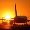
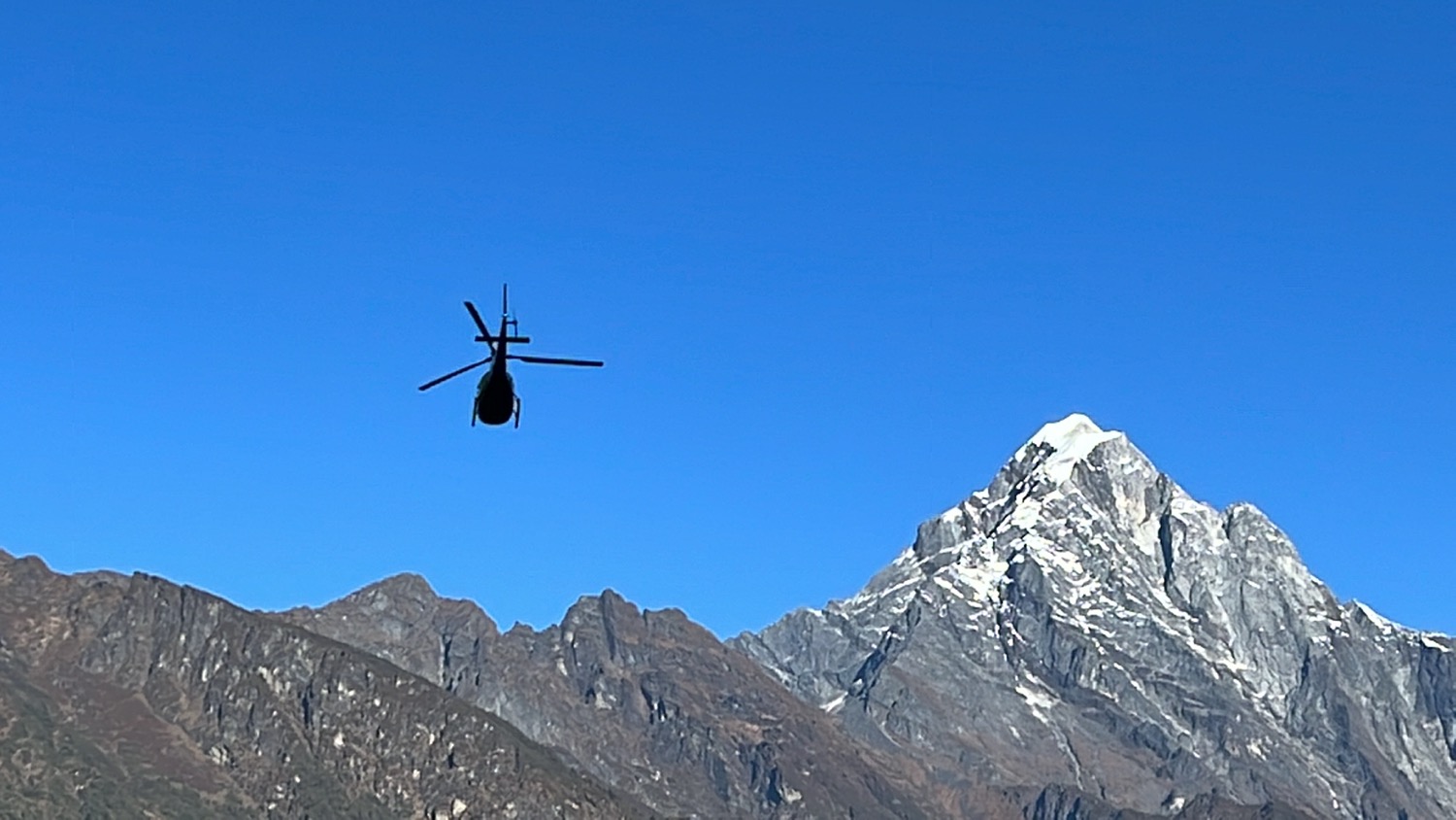
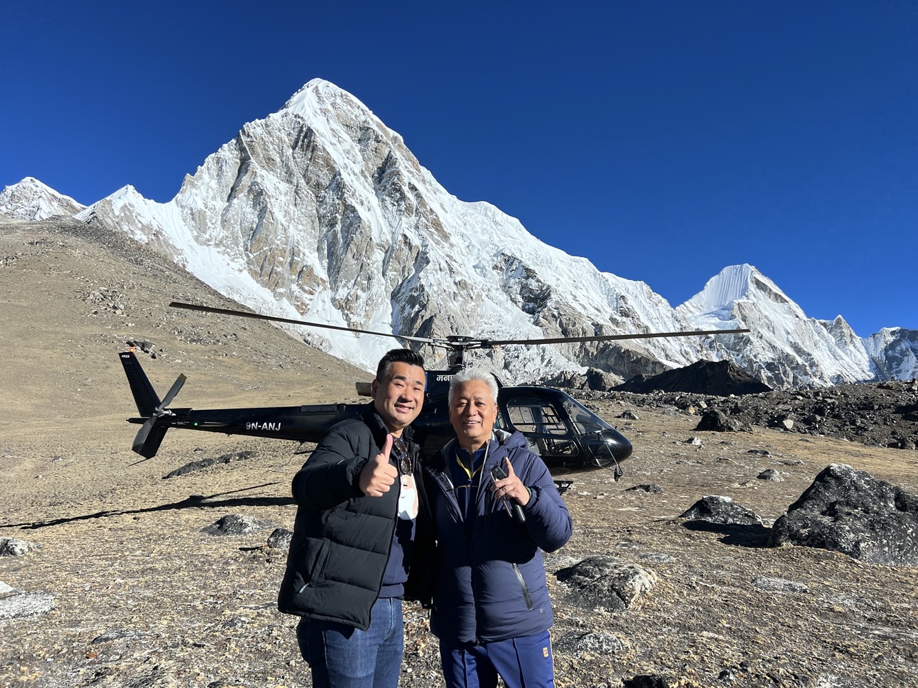
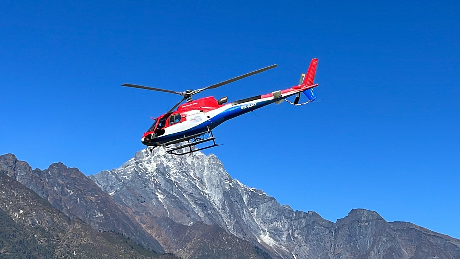
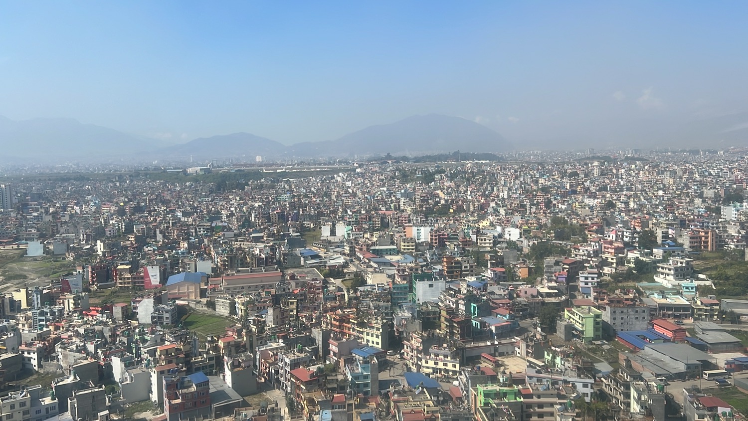
Our helicopter (operated by Manang Air) was one of the first to take off at sunrise around 6:20 am from Kathmandu Airport. There are many helicopter operators offering tours to see the majestic mountains in Nepal but there’s only a small window of the season to do this. I’d recommend going in April or October when the weather is at its clearest and not too cold.
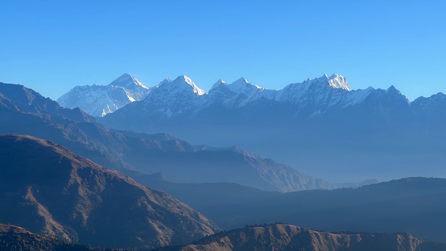
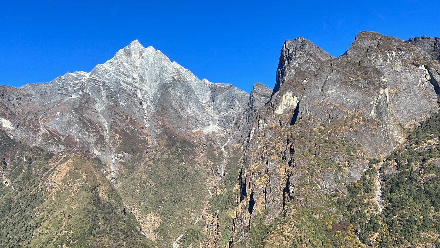
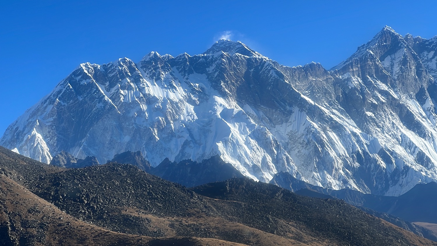
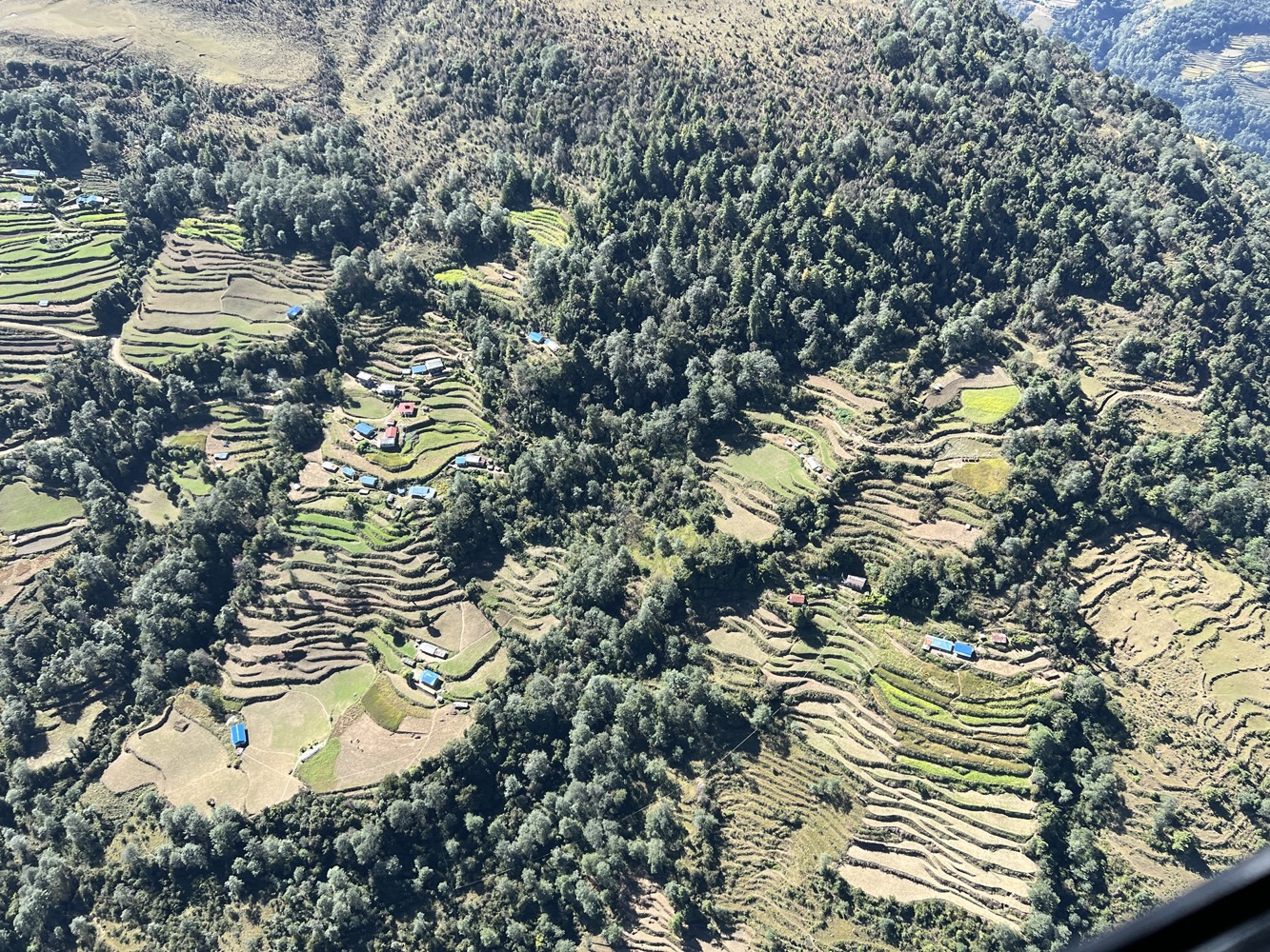
The first leg is from Kathmandu to Lukla, which took about 40 minutes of flying. On the way, we can see many mountain peaks in the distance including GauriShanker, Mt Everest and even Kanchenjunga.
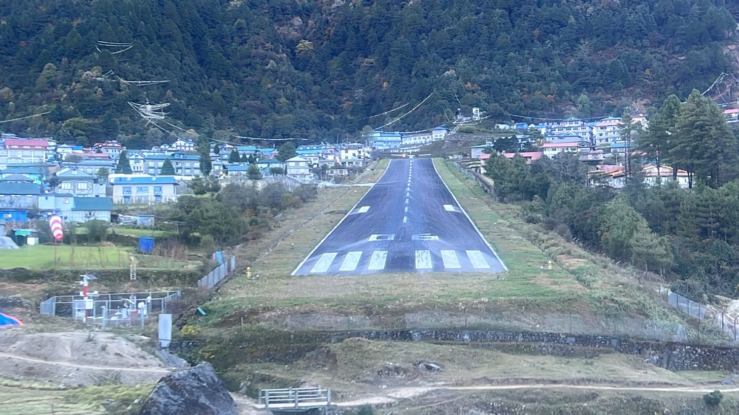
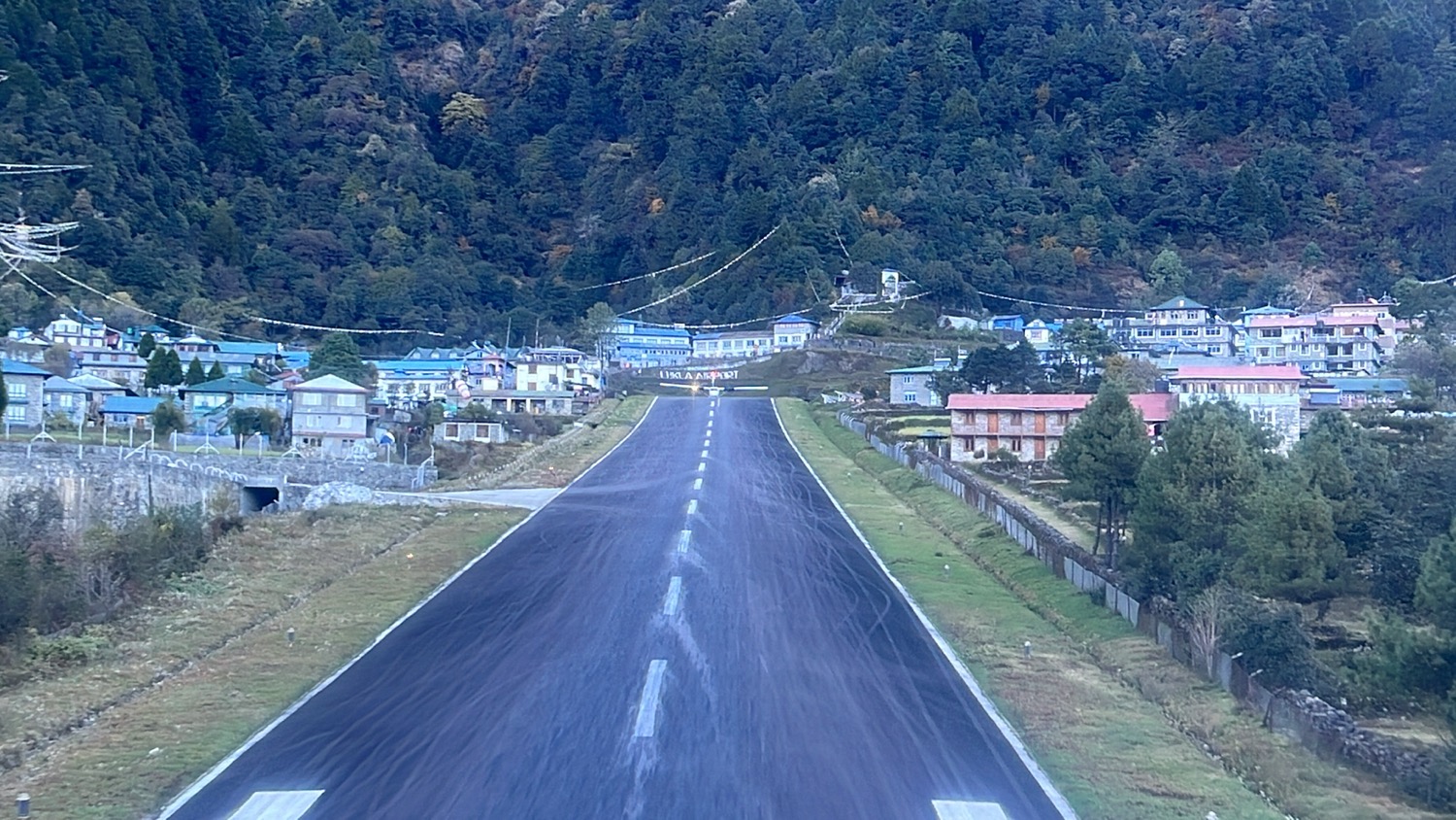
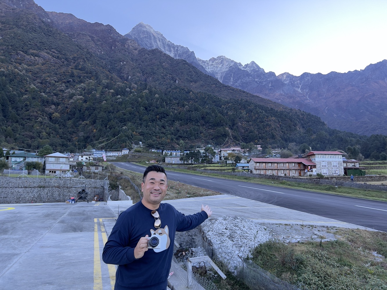
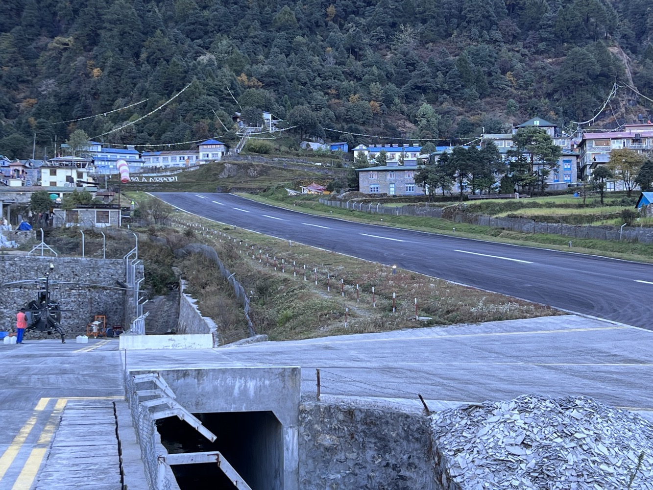
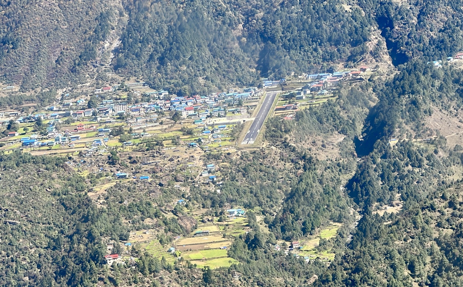
Stop 1. Lukla (9,380 ft / 2,860m)
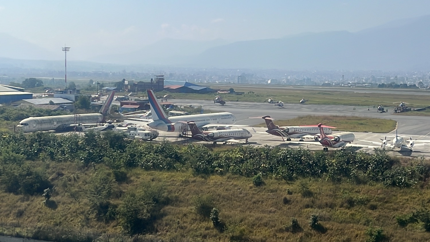
Lukla is the gateway to Mount Everest. There is no road so no car can get here. You can reach Lukla by trekking, fixed-wing STOL aircraft or by helicopter. We arrived there at 7am.
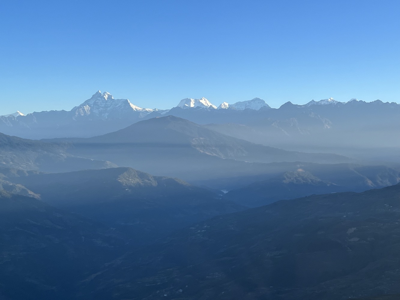
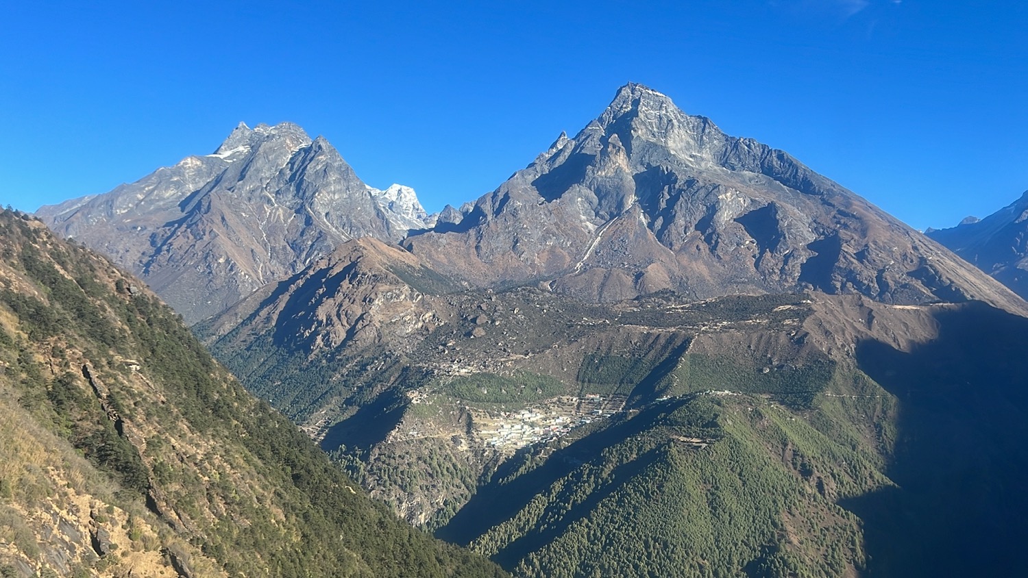
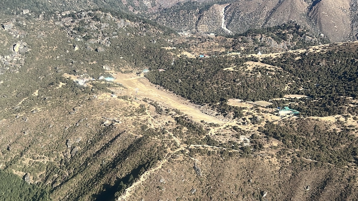
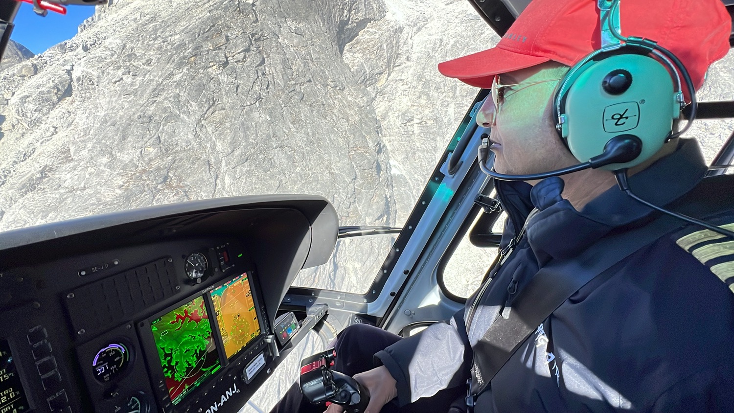
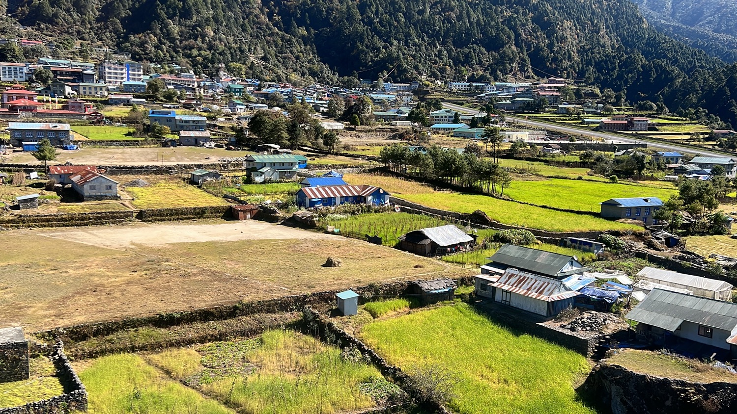
We took off again after refueling and headed to Mt Everest, on the way we pass Namche Bazar, Syangboche airstrip, Khumbu Icefall…
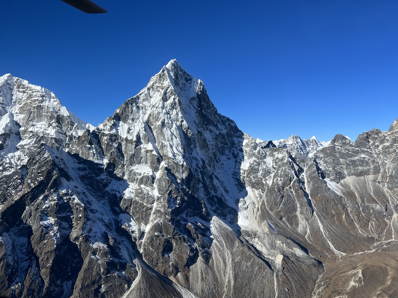
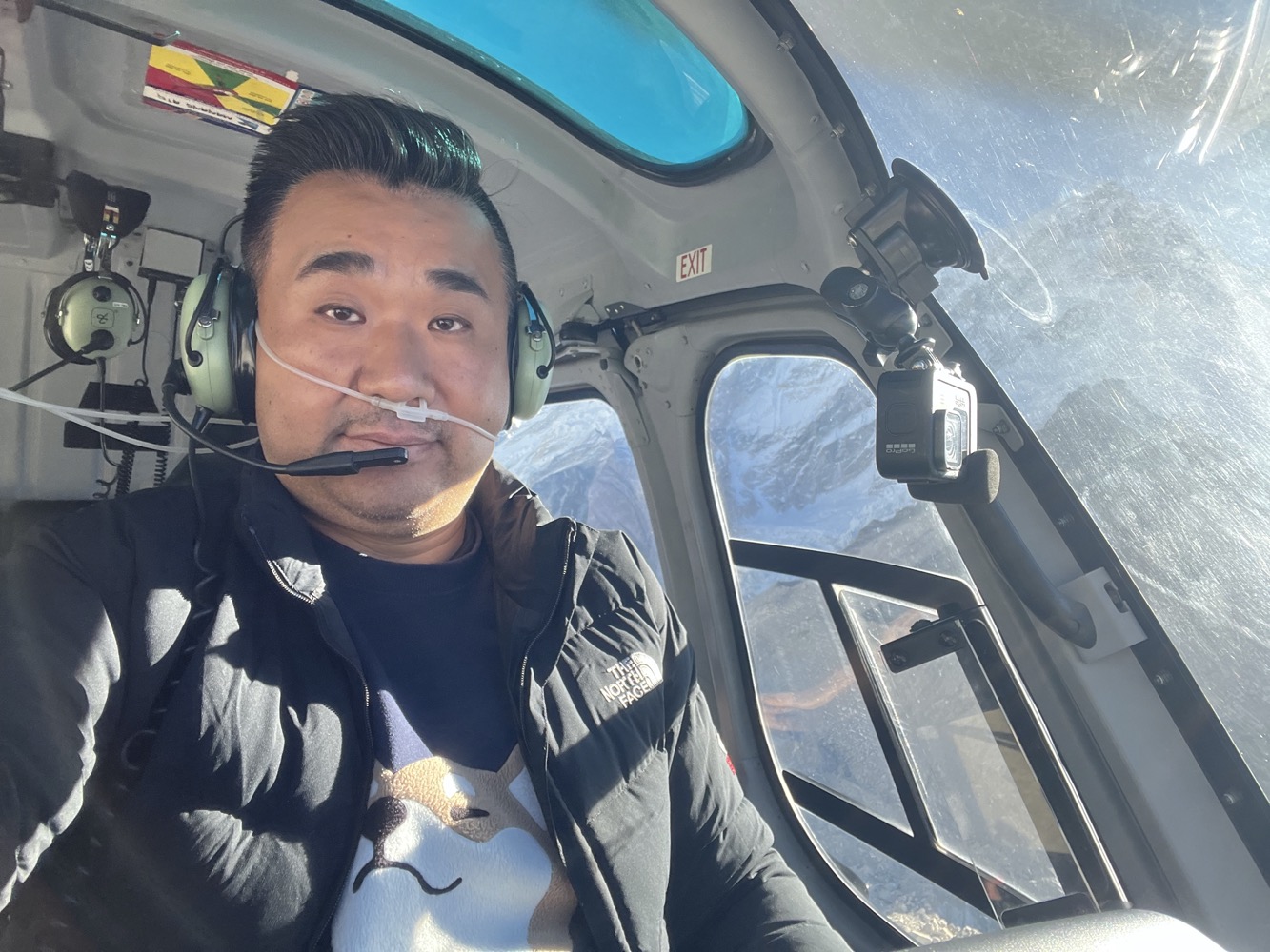
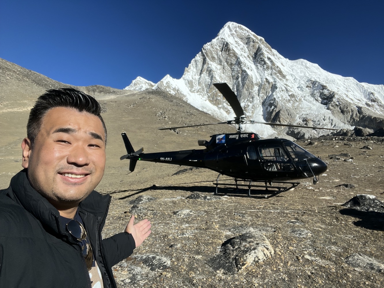
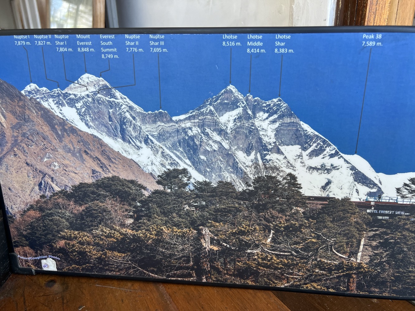
Within 10 minutes of flying from Lukla, we had our close glimpse of Mt Everest.
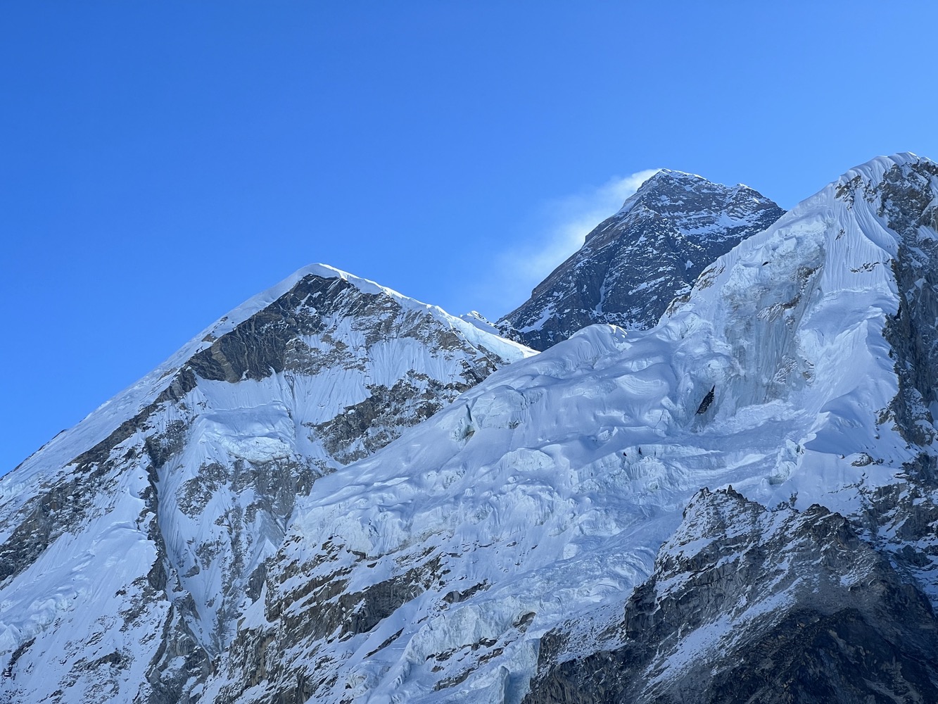
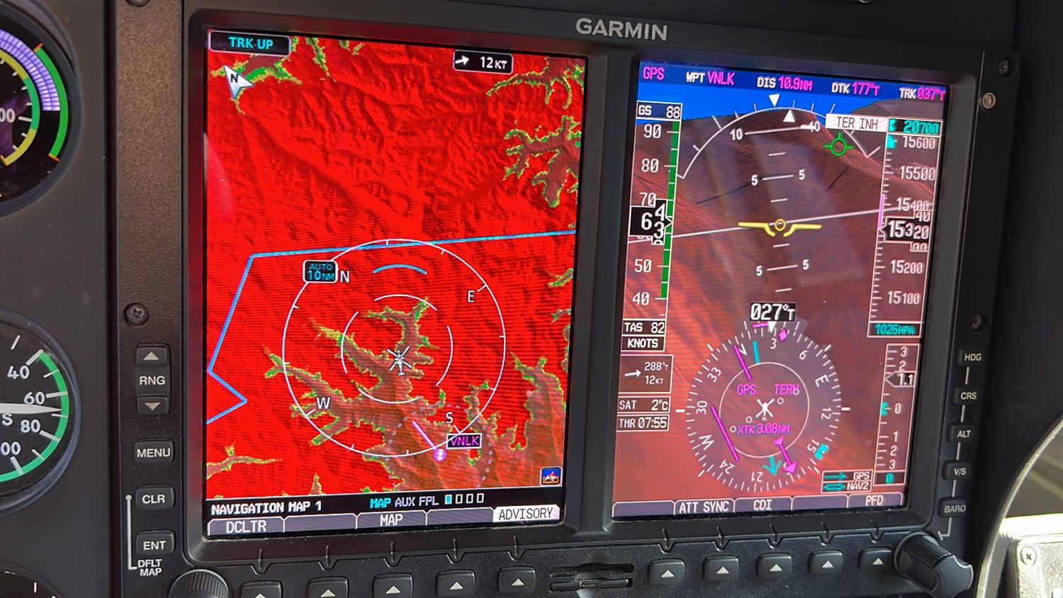
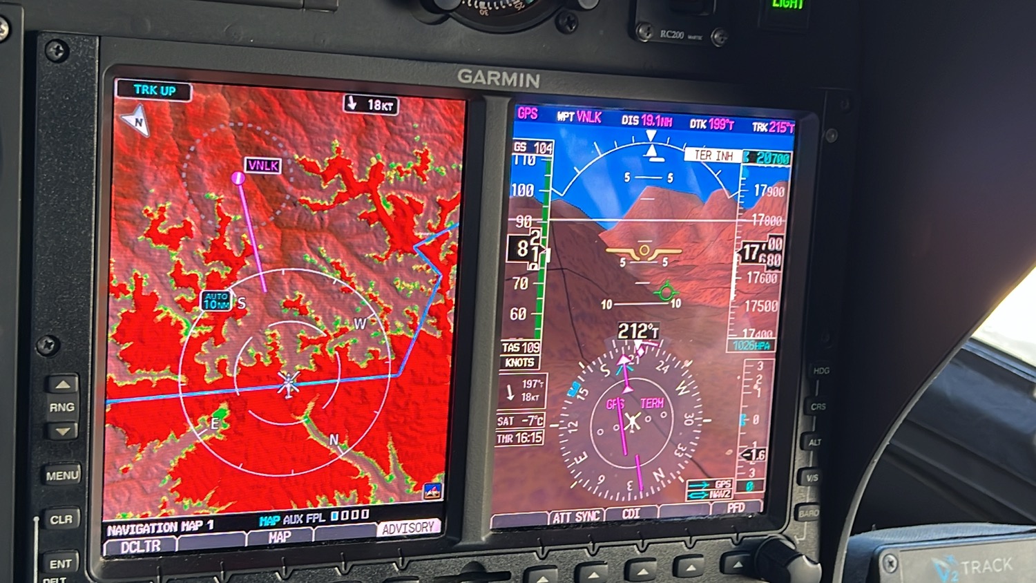
We were almost at 20,000 ft but Mt Everest stood really tall from where our helicopter was. We were trying to get up to Camp 2 of Mt Everest which is the limit of our helicopter. Unfortunately, there were gusts of 20-25 knots blowing so we could not reach anywhere higher than Camp 1.
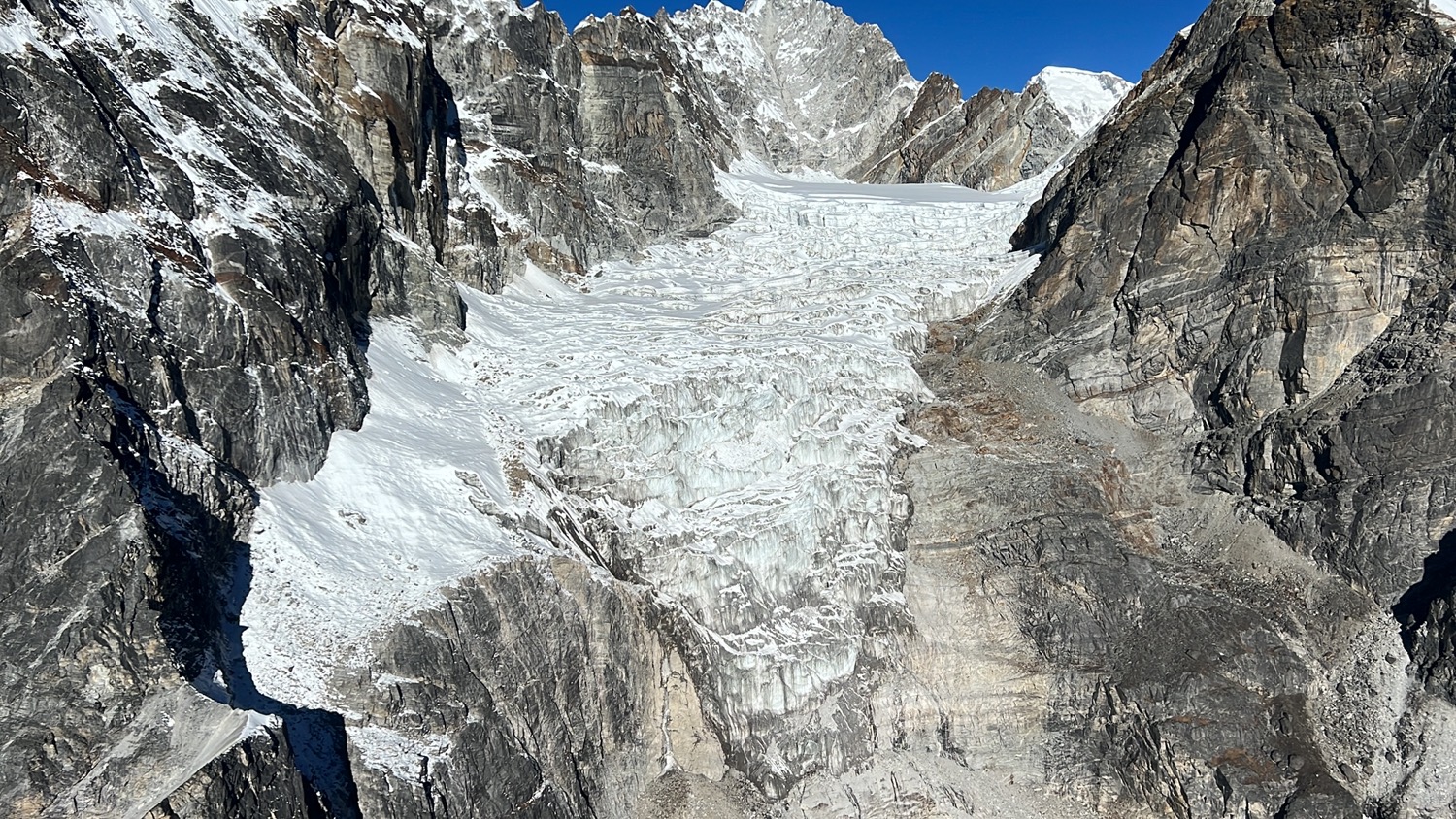
We had an amazing view of the Khumbu Icefall. Watch my video for the footage. I asked where are the Everest camps but was told there are no camps set up in the fall season as it is too cold to climb. The camp will be reset for the Spring season.
Video
Stop 2. Kala Patthar (18,519 ft / 5,644m)
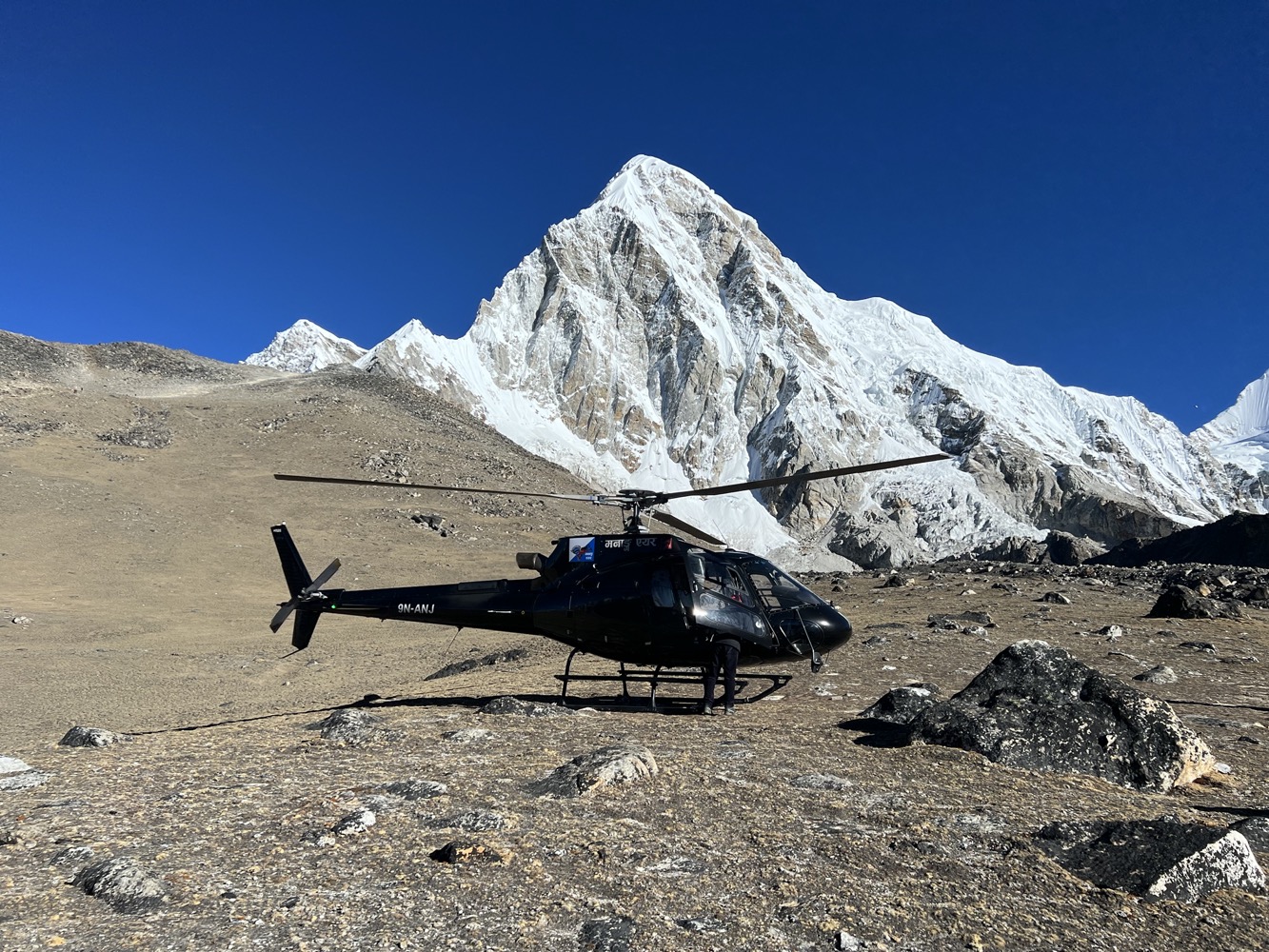
I was so frantically taking photos and became slightly disoriented. I started to use the oxygen supply from the helicopter.
We spent 5 minutes outside while the helicopter kept its rotor on. This was the highest altitude I’ve ever set foot on.
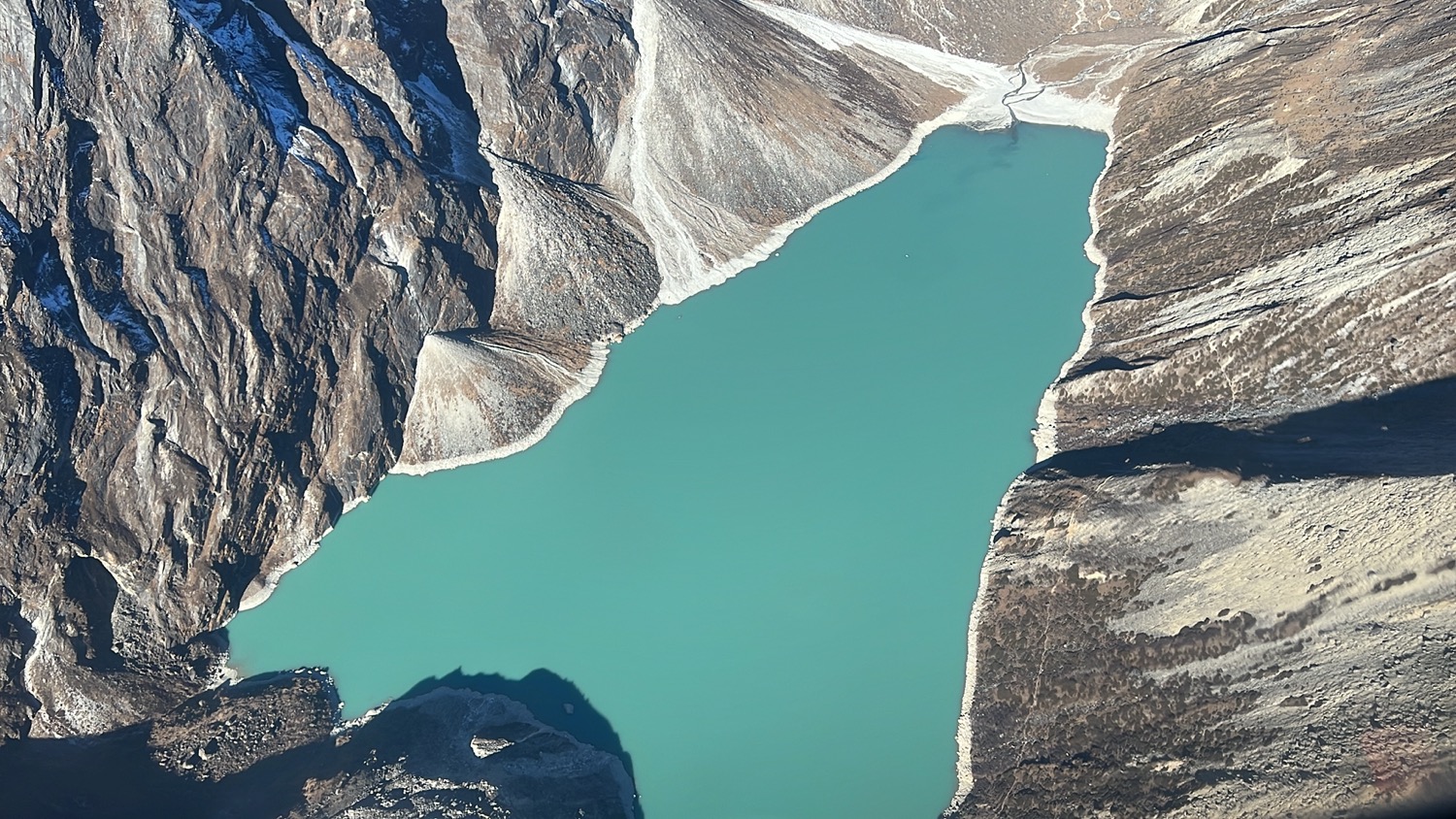
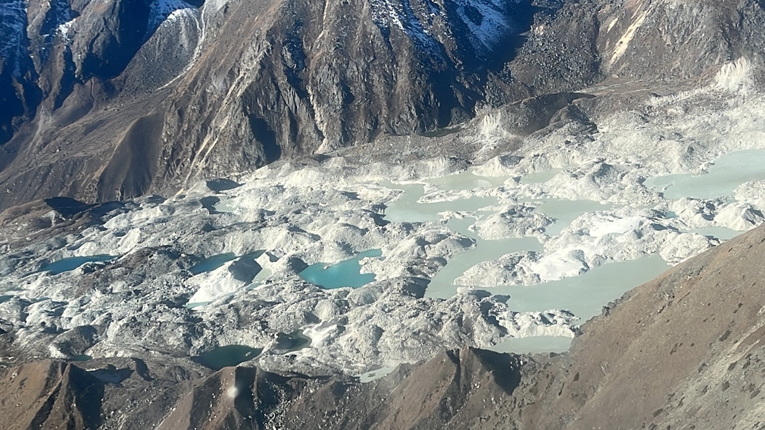
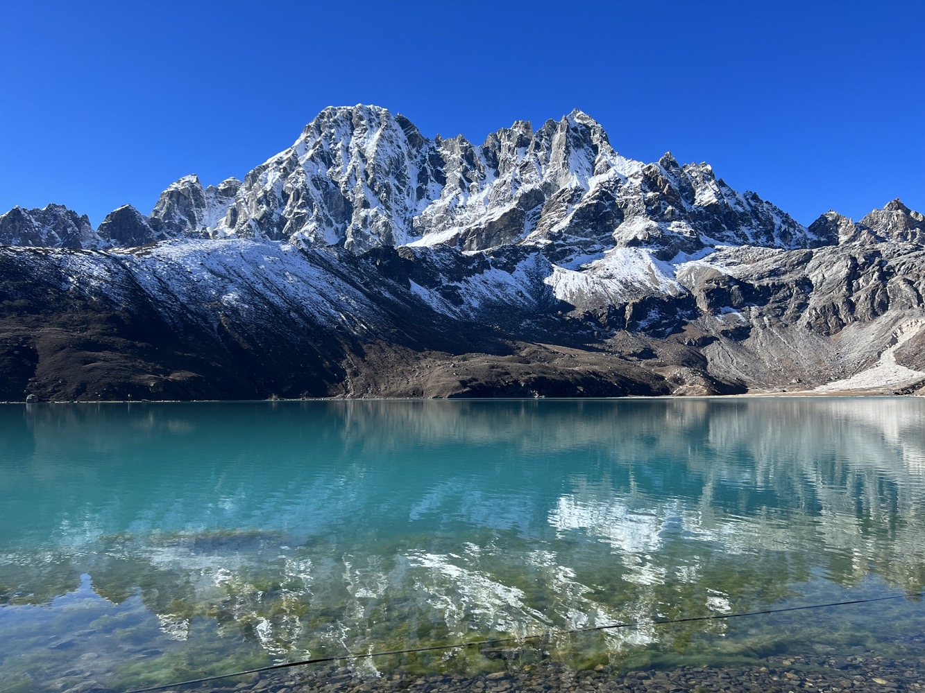
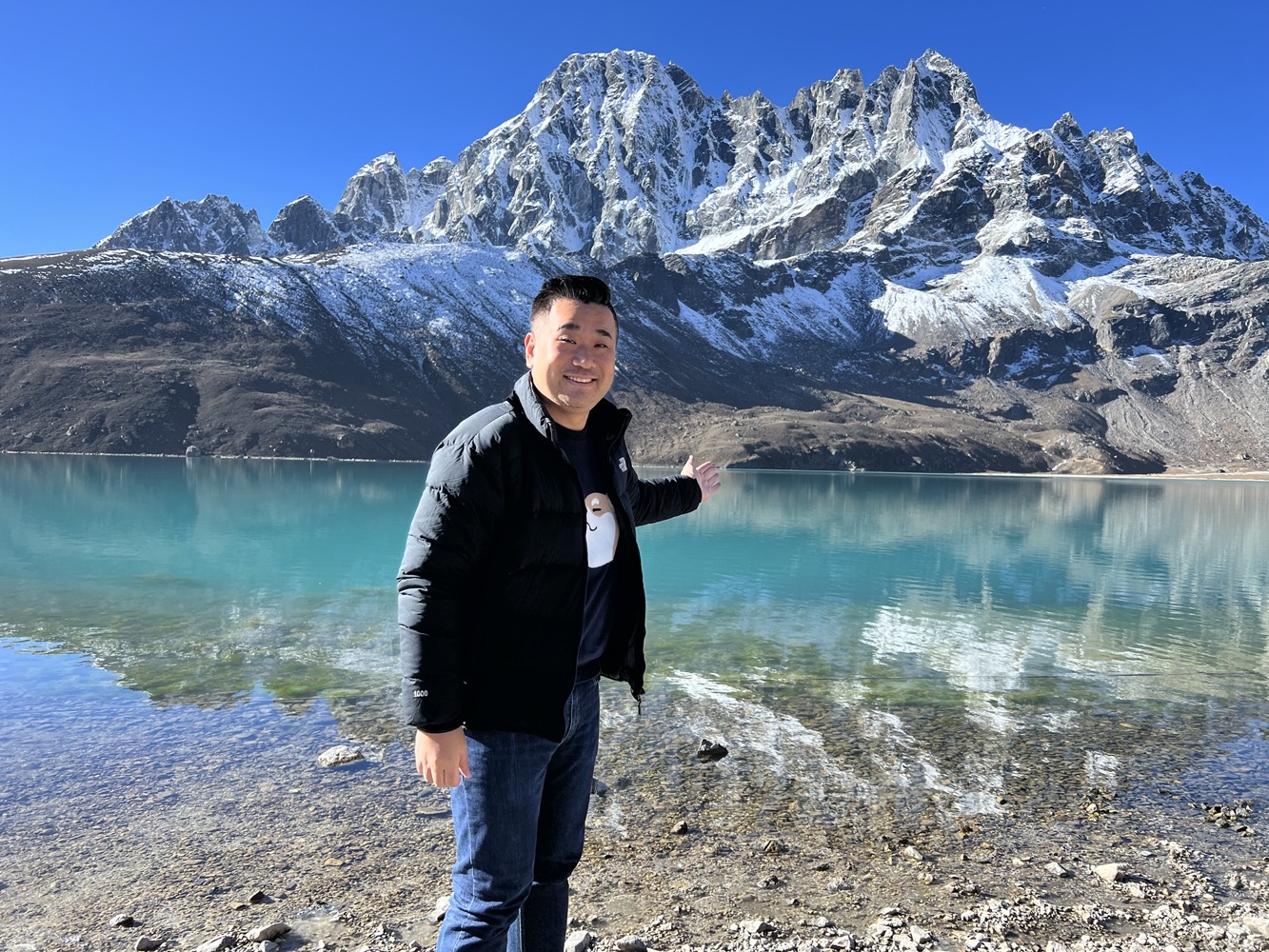
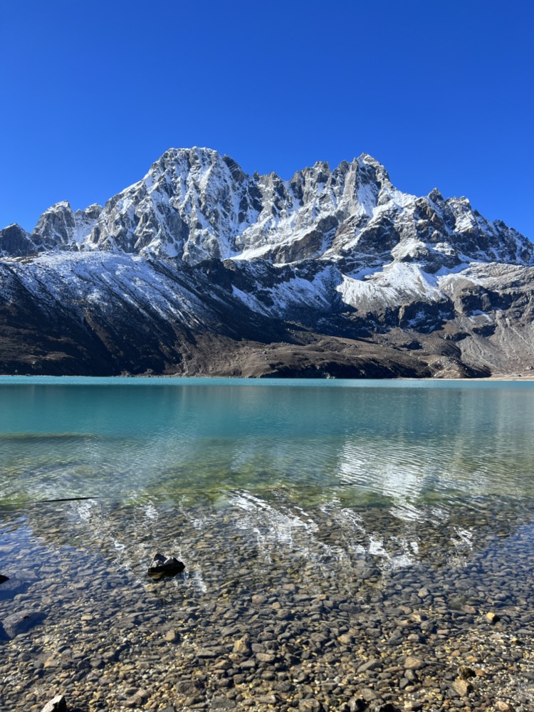
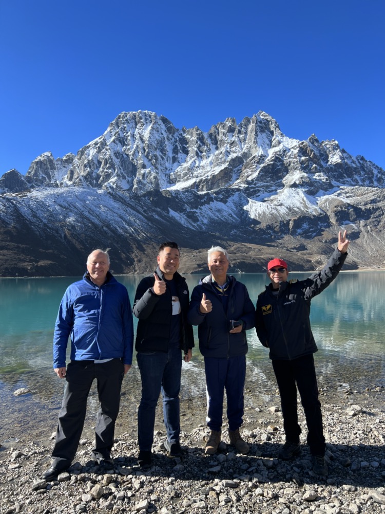
Our next stop is the pristine Gokyo Lake. On the way, we saw the world’s highest glacier, Khumbu Glacier and we flew over Cho La Pass (17,782 ft / 5,420 m).
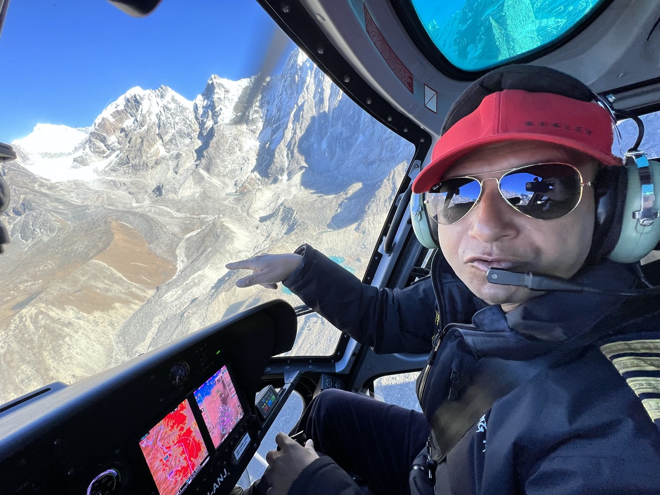
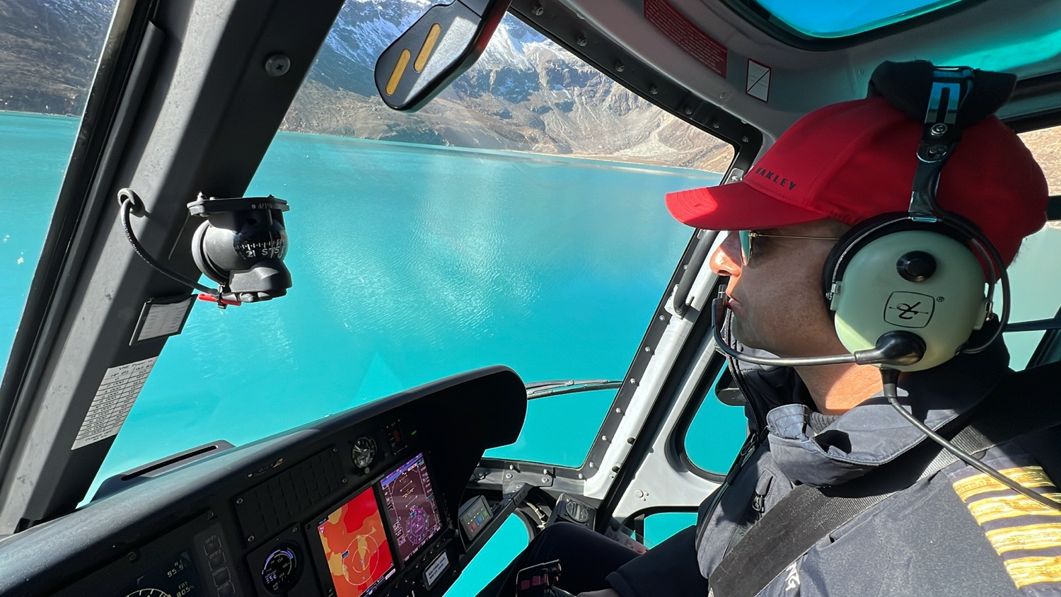
The helicopter pilot told me the rule is to keep left while flying to give way to other traffic. While the valley is clear, he flew on the right towards Gokyo Lake. It really amazes me how close we fly to those mountain terrains. Watch all the flying action on my video.
Stop 3. Gokyo Ri (17,575 ft / 5,357m)
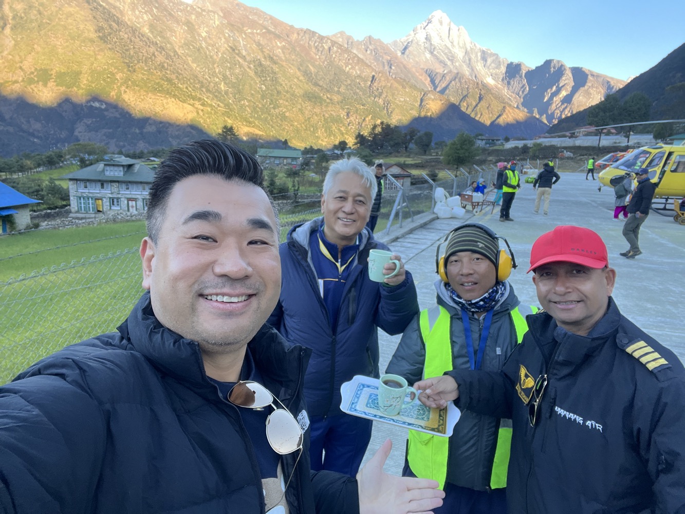
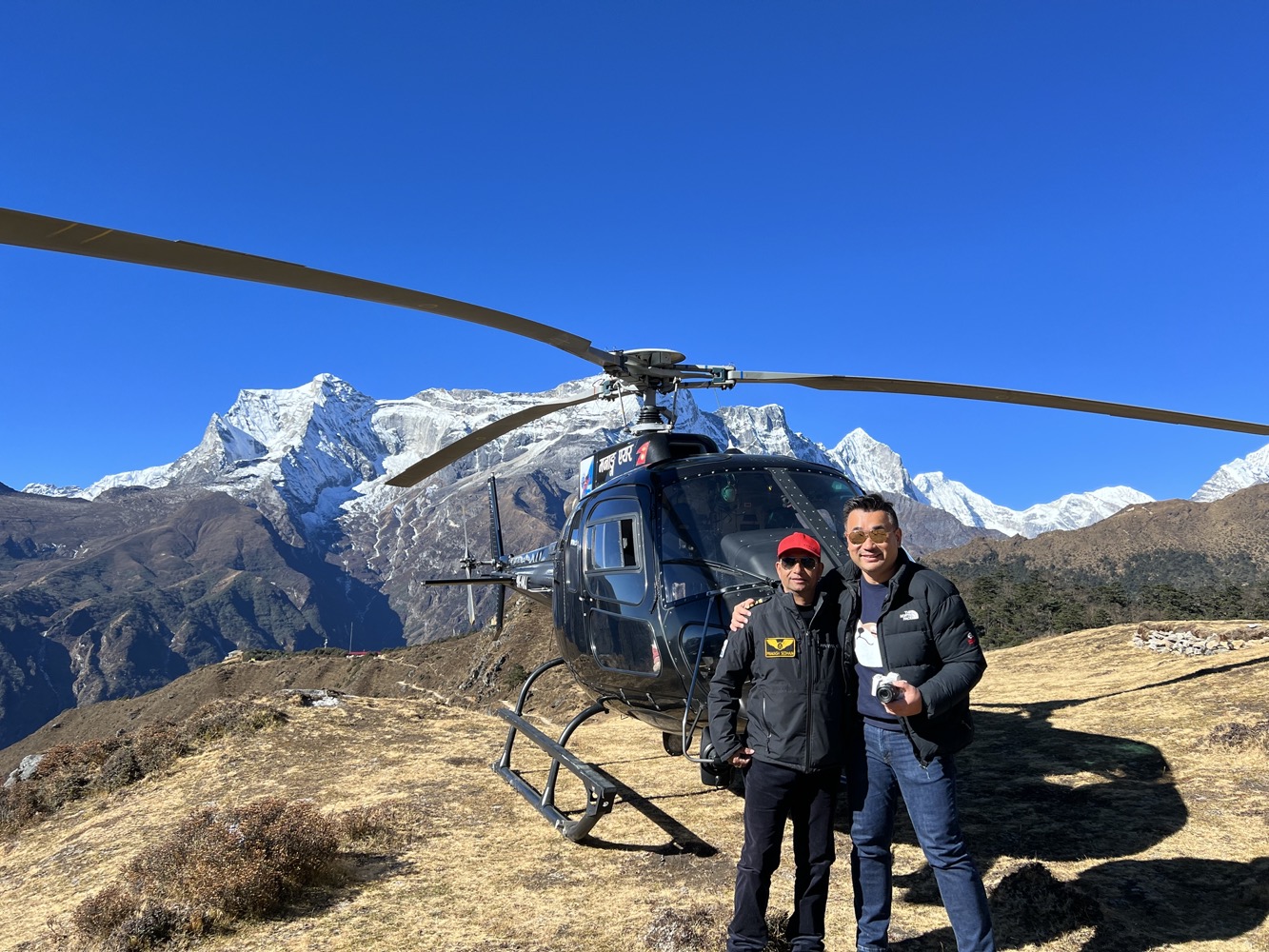
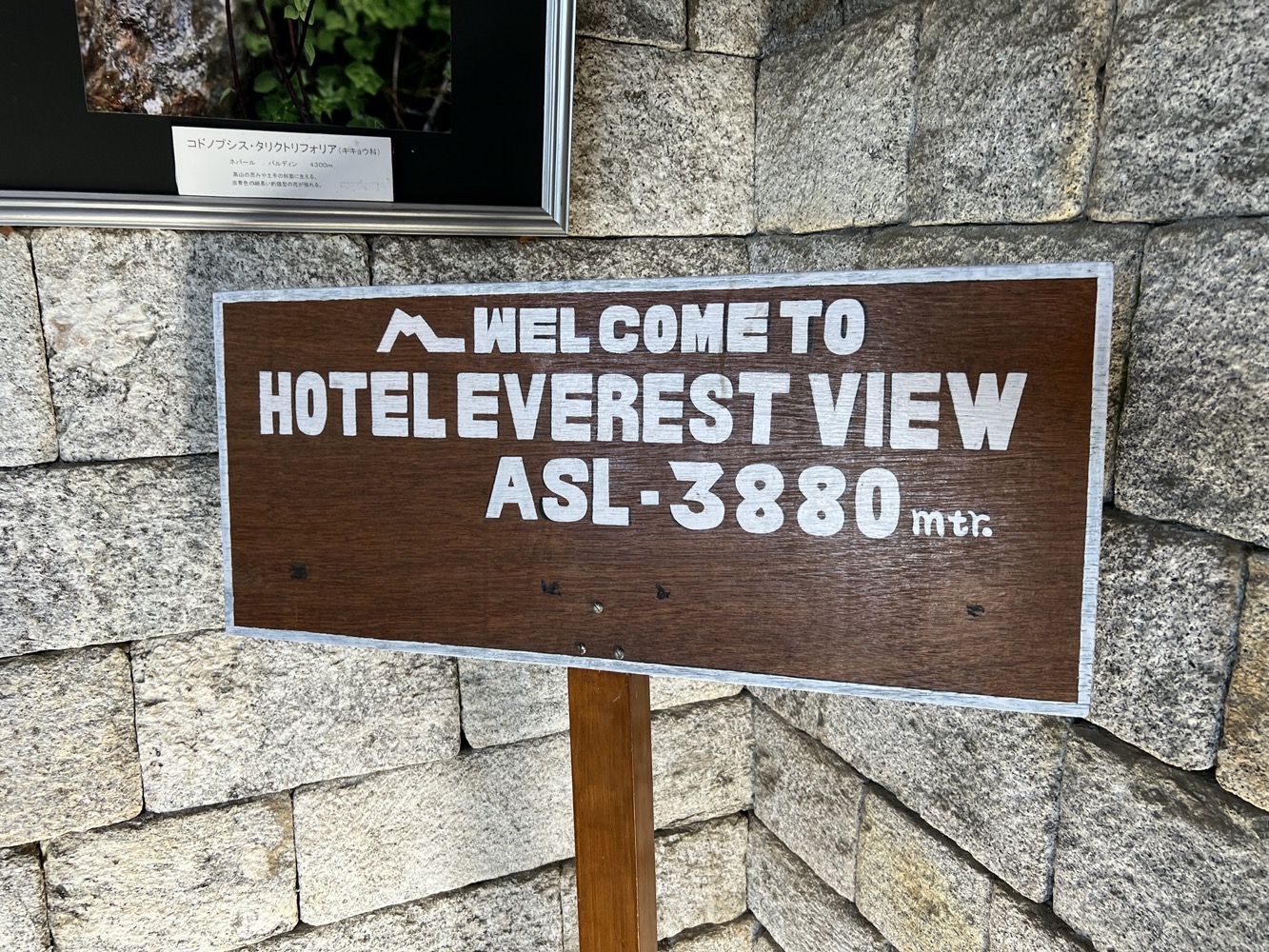
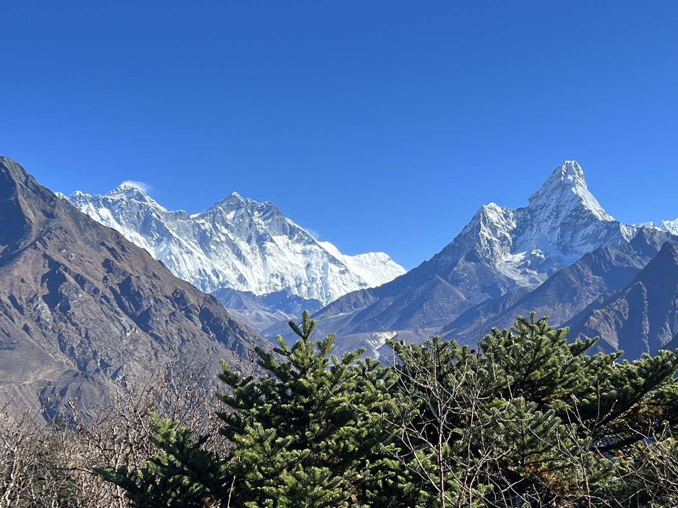
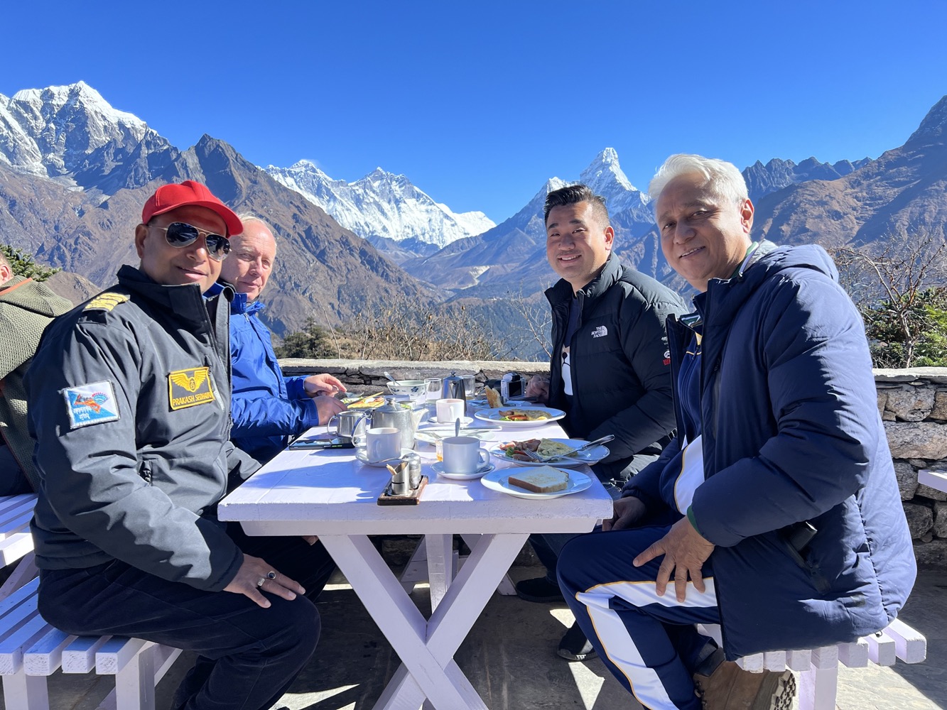
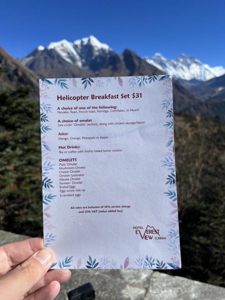
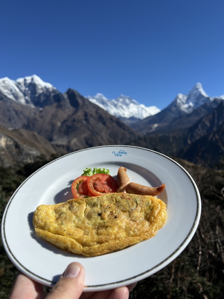
After a brief stop on the lake, we headed towards the world’s highest hotel, hotel Everest view for breakfast.
Stop 4. Hotel Everest View (12,729ft / 3,880m)
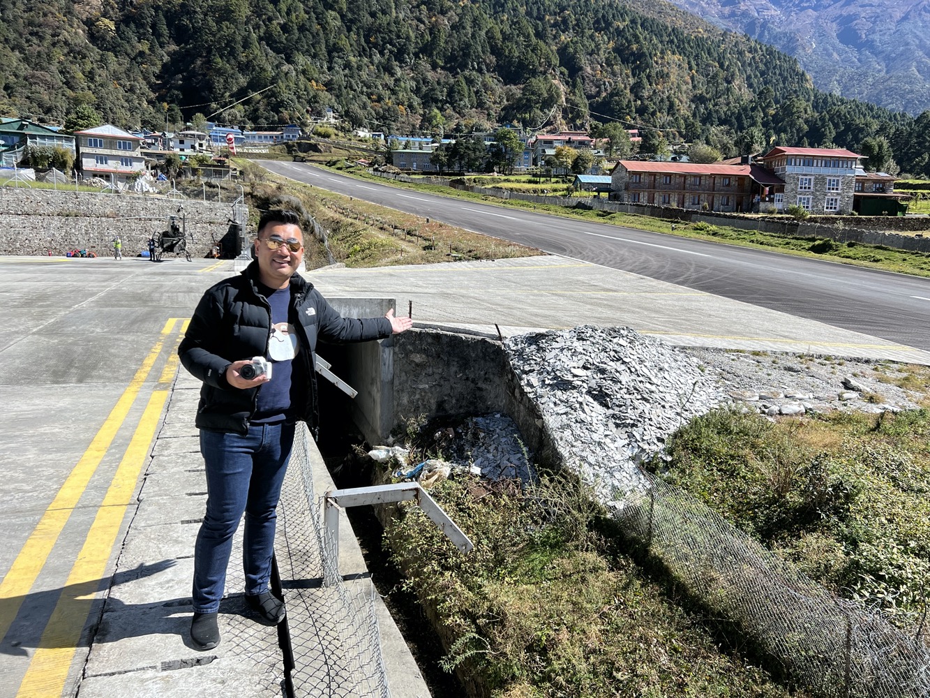
Stop 5. Lukla (9,380 ft / 2,860m)
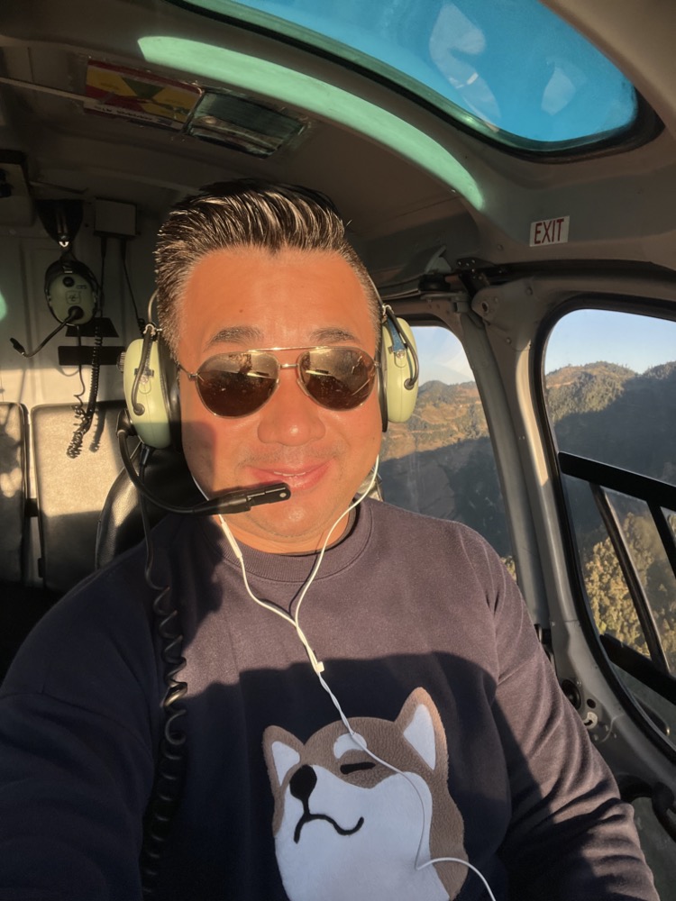
After breakfast, we flew back to Lukla. The light on the runway at Lukla is excellent now. It was a very clear day.
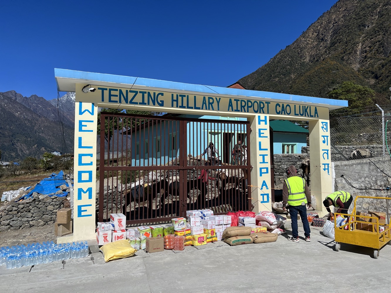
Helicopters don’t just bring tourists, they also bring cargo and bring down sick and fatigued trekkers from the mountain down on a daily basis. Once the cargo arrives, donkeys are used to transport it around the villages in the mountain.
The trip was a once-in-a-lifetime experience that I will never forget.
Our Trip
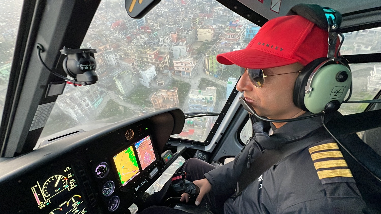
After spending 40 minutes in Lukla, we flew back to Kathmandu. There’s nothing like it from the scenery.
There is no difficulty in doing this trip compared to days of trekking. The helicopter provides oxygen but we only stayed at 20,000 ft for just a few minutes.
The whole trip took about 5 hours. The cost of doing it is about $1200 per person sharing the helicopter. ($3300-$3500 per helicopter with 4 seats)
Way Point of our helicopter flight:
- Kathmandu (4,390 ft / 1,338m)
- Lukla (9,380 ft / 2,860m)
- Namche Bazar (11,290 ft / 3,440m)
- Syangboche (12,402 ft / 3,780m)
- Khumbu Icefall (17,999 ft / 5,486m)
- Mt Everest (29,031 ft / 8,849m)
- Kala Patthar (18,519 ft / 5,644m)
- Cho La Pass (17,782 ft / 5,420 m)
- Gokyo Ri (17,575 ft / 5,357m)
- Hotel Everest View (12,729ft / 3,880m)
- Lukla (9,380 ft / 2,860m)
- Kathmandu (4,390 ft / 1,338m)

What was the company through whom you arranged this trip?
Manang Air
A really fantastic experience …Bravo Sam Chui for offering such extrordinary sceneries !